Guides and Maps
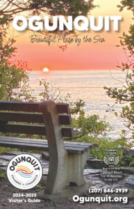
Our annual directory includes all you need to know: lodging, restaurants, specialty shops, cultural activities and art galleries, outdoor activities, and local services. There's also parking information, maps, and quick find charts for easy comparisons.
And a bonus in the guide: Tide charts to help you plan your beach time!
You know that Ogunquit's dining scene is eclectic & creative, with offerings from rustic clam shacks & fine dining with a fantastic seaside view snuggled on the shores of Perkins Cove to the lively string of contemporary restaurants in downtown & along the Marginal Way. We've also included our favorite breakfast & dessert spots and even a few must-visits in nearby Cape Neddick, York & Wells: 36 restaurants in all! Take a digital tour of our culinary scene and start salivating!!!
Our map features all day and hourly parking areas, Marginal Way access points, and locations for public restrooms, police and fire station, library, iconic cultural attractions, the dog park and churches.
Great Works Regional Land Trust Map

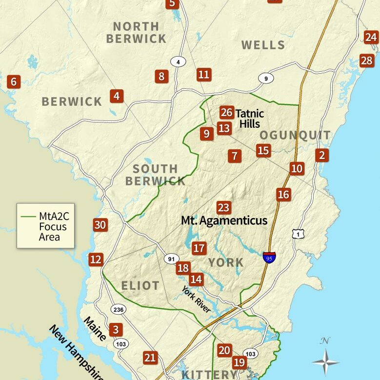
Mount A to the Sea Map
Eastern Trail Brochure

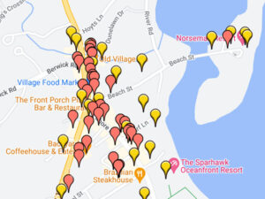
Our interactive online map features all Ogunquit Chamber of Commerce member businesses and their locations. Click on a business listing to learn more information or sort by category to help find what you need.

